Southern California RC AirfieldsHelicopters • Airplanes • Drones • Builds • Repairs • Consulting • 3D Printing |
|
| 04/07/2026: @ 04:11: page updated | |
| Glendale field details |
|
Welcome to the Valley Flyers (unofficial) Glendale Field Locator.
Links: Gallery ====>>>> Click Here |
In Honor of Willie Gardner
|
|
Maps:
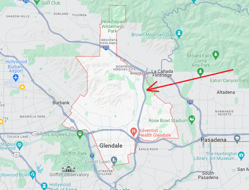
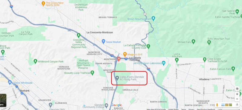
Map 1.2 - Area Level
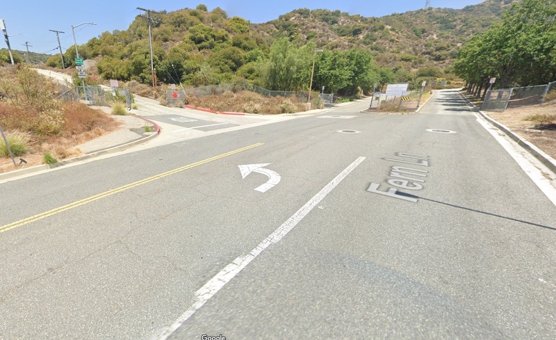
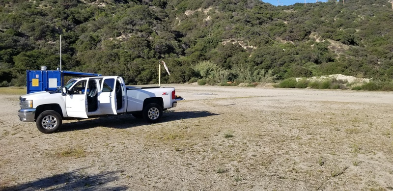
Photo 1.3 - Main Gate (Fern Ln & Teodora Pl)
Photo 1.4 - Valley Flyers Gate (Teodora Pl)
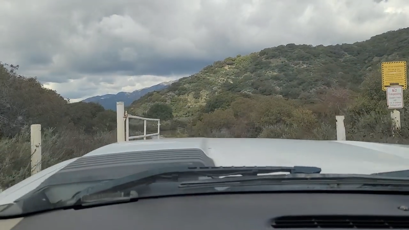
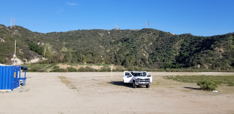
Photo 1.5 - Entering Valley Flyers Gate
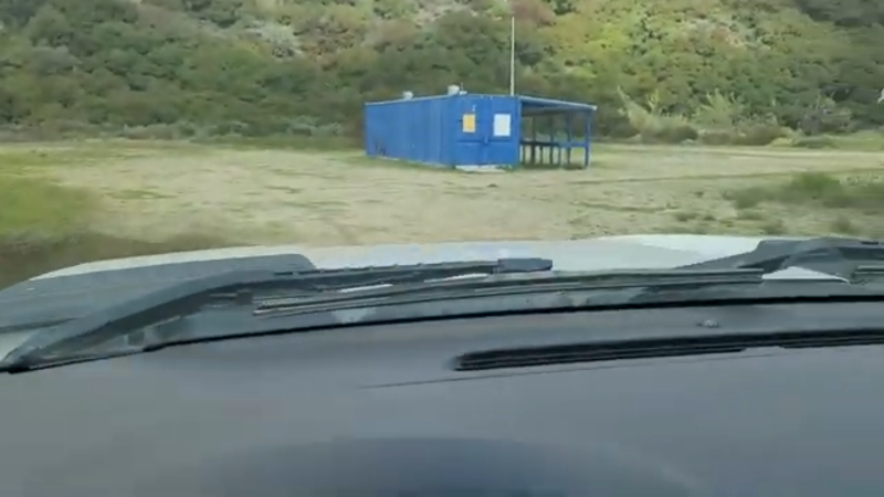
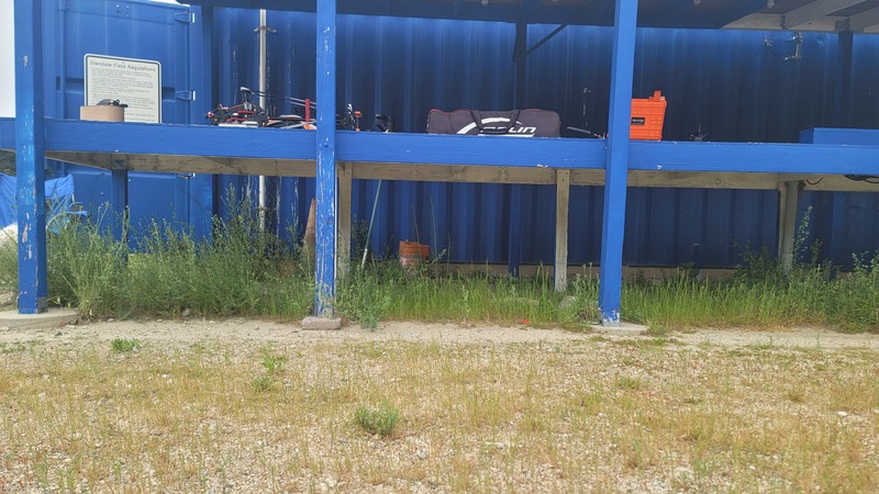
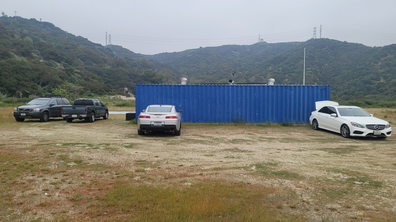
Photo 1.6 - Flight Station/Pits |
|
|